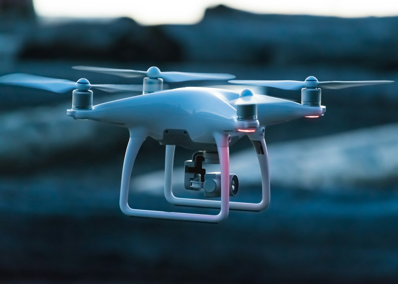
Light Detection and Ranging (LiDAR) is a cornerstone remote-sensing technology utilized in autonomous driving, robotics, aerospace mapping, and atmospheric science to construct hyper-accurate three-dimensional representations of physical environments. By emitting rapid pulses of laser light and measuring the precise time it takes for those photons to bounce off distant surfaces and return to a sensor receiver, LiDAR systems generate dense, millimeter-accurate spatial datasets known as point clouds. This technical deep-dive examines the underlying optical physics, laser modulation techniques, and microarchitectural designs of modern LiDAR systems. The operational principle of LiDAR rests upon Time-of-Flight (ToF) calculations. A LiDAR transmitter fires thousands to millions of laser pulses per second—typically operating in the near-infrared spectrum (around 905nm or 1550nm wavelengths). When an emitted photon strikes a physical object (such as a vehicle body, road surface, or pedestrian clothing), a fraction of the light scatters back toward the sensor. A high-speed photodetector measures the exact round-trip travel time ($\Delta t$). Multiplying this time by the speed of light ($c$) and dividing by two yields the exact distance to the target object: $Distance = (c imes \Delta t) / 2$. By sweeping these laser beams across 360 degrees horizontally and wide vertical fields of view, the system constructs a rich 3D point cloud capturing spatial geometry. Historically, LiDAR units relied on bulky, spinning mechanical assemblies with dozens of individual laser emitters, limiting durability and increasing manufacturing costs. Modern automotive LiDAR engineering has shifted toward solid-state and MEMS (Micro-Electro-Mechanical Systems) architectures, utilizing silicon micro-mirrors and optical phased arrays with zero moving parts to steer laser beams electronically. This article evaluates laser eye safety standards, weather penetration limits (fog and rain attenuation), and signal processing algorithms that make LiDAR an indispensable sensor for high-speed autonomous navigation.
Why this matters now
Technology rarely arrives as a single breakthrough. It emerges from a chain of research decisions, infrastructure investments, and practical constraints. Light Detection and Ranging (LiDAR) is a cornerstone remote-sensing technology utilized in autonomous driving, robotics, aerospace mapping, and atmospheric science to construct hyper-accurate three-dimensional representations of physical environments. By emitting rapid pulses of laser light and measuring the precise time it takes for those photons to bounce off distant surfaces and return to a sensor receiver, LiDAR systems generate dense, millimeter-accurate spatial datasets known as point clouds. This technical deep-dive examines the underlying optical physics, laser modulation techniques, and microarchitectural designs of modern LiDAR systems. The operational principle of LiDAR rests upon Time-of-Flight (ToF) calculations. A LiDAR transmitter fires thousands to millions of laser pulses per second—typically operating in the near-infrared spectrum (around 905nm or 1550nm wavelengths). When an emitted photon strikes a physical object (such as a vehicle body, road surface, or pedestrian clothing), a fraction of the light scatters back toward the sensor. A high-speed photodetector measures the exact round-trip travel time ($\Delta t$). Multiplying this time by the speed of light ($c$) and dividing by two yields the exact distance to the target object: $Distance = (c imes \Delta t) / 2$. By sweeping these laser beams across 360 degrees horizontally and wide vertical fields of view, the system constructs a rich 3D point cloud capturing spatial geometry. Historically, LiDAR units relied on bulky, spinning mechanical assemblies with dozens of individual laser emitters, limiting durability and increasing manufacturing costs. Modern automotive LiDAR engineering has shifted toward solid-state and MEMS (Micro-Electro-Mechanical Systems) architectures, utilizing silicon micro-mirrors and optical phased arrays with zero moving parts to steer laser beams electronically. This article evaluates laser eye safety standards, weather penetration limits (fog and rain attenuation), and signal processing algorithms that make LiDAR an indispensable sensor for high-speed autonomous navigation. This context matters because the most useful way to evaluate a new system is not to ask whether it is impressive in isolation, but whether it changes what people can reliably do, at what cost, and with which risks. For researchers and builders, that means separating the demonstration from the durable capability.
A responsible reading of what is lidar technology? pulsed laser physics, time-of-flight, and 3d point-cloud mapping also requires attention to who benefits and who carries the cost. Teams should document assumptions, monitor drift, and give affected people a meaningful way to challenge automated decisions. These are not secondary considerations: they determine whether a promising technical idea becomes dependable infrastructure.
The architecture behind the promise
Light Detection and Ranging (LiDAR) is a cornerstone remote-sensing technology utilized in autonomous driving, robotics, aerospace mapping, and atmospheric science to construct hyper-accurate three-dimensional representations of physical environments. By emitting rapid pulses of laser light and measuring the precise time it takes for those photons to bounce off distant surfaces and return to a sensor receiver, LiDAR systems generate dense, millimeter-accurate spatial datasets known as point clouds. This technical deep-dive examines the underlying optical physics, laser modulation techniques, and microarchitectural designs of modern LiDAR systems. The operational principle of LiDAR rests upon Time-of-Flight (ToF) calculations. A LiDAR transmitter fires thousands to millions of laser pulses per second—typically operating in the near-infrared spectrum (around 905nm or 1550nm wavelengths). When an emitted photon strikes a physical object (such as a vehicle body, road surface, or pedestrian clothing), a fraction of the light scatters back toward the sensor. A high-speed photodetector measures the exact round-trip travel time ($\Delta t$). Multiplying this time by the speed of light ($c$) and dividing by two yields the exact distance to the target object: $Distance = (c imes \Delta t) / 2$. By sweeping these laser beams across 360 degrees horizontally and wide vertical fields of view, the system constructs a rich 3D point cloud capturing spatial geometry. Historically, LiDAR units relied on bulky, spinning mechanical assemblies with dozens of individual laser emitters, limiting durability and increasing manufacturing costs. Modern automotive LiDAR engineering has shifted toward solid-state and MEMS (Micro-Electro-Mechanical Systems) architectures, utilizing silicon micro-mirrors and optical phased arrays with zero moving parts to steer laser beams electronically. This article evaluates laser eye safety standards, weather penetration limits (fog and rain attenuation), and signal processing algorithms that make LiDAR an indispensable sensor for high-speed autonomous navigation. At implementation level, the important trade-offs are usually found at the boundaries: data quality, latency, energy use, interfaces, and the evaluation methods used to measure success. A model or device can score highly in a controlled benchmark while behaving differently in a noisy production environment. Robust systems therefore combine specialized components, transparent instrumentation, and feedback loops that make errors visible. This is also where open standards and reproducible research create leverage: they allow independent teams to verify claims and improve the baseline rather than treating every product as a black box.
A responsible reading of what is lidar technology? pulsed laser physics, time-of-flight, and 3d point-cloud mapping also requires attention to who benefits and who carries the cost. Teams should document assumptions, monitor drift, and give affected people a meaningful way to challenge automated decisions. These are not secondary considerations: they determine whether a promising technical idea becomes dependable infrastructure.
What the evidence suggests
The current evidence points to a more nuanced picture than the headlines imply. Capabilities are advancing quickly, but performance remains uneven across languages, edge cases, operating conditions, and user populations. The strongest deployments define a narrow job, establish a human-review path, and measure outcomes over time. Independent audits, peer-reviewed findings, and technical documentation are more valuable than a single launch demonstration. Readers should look for clearly defined metrics, disclosed limitations, and comparisons against a meaningful baseline.
A responsible reading of what is lidar technology? pulsed laser physics, time-of-flight, and 3d point-cloud mapping also requires attention to who benefits and who carries the cost. Teams should document assumptions, monitor drift, and give affected people a meaningful way to challenge automated decisions. These are not secondary considerations: they determine whether a promising technical idea becomes dependable infrastructure.
The practical horizon
Over the next several years, progress will likely come from engineering discipline as much as from larger models or more powerful hardware. Better data pipelines, efficient inference, domain-specific evaluation, and thoughtful product design can make existing capabilities substantially more useful. Organizations considering adoption should begin with a measurable workflow, record the cost of today’s process, and test whether the technology improves quality without creating unacceptable operational or privacy risk. The winners will be the systems that earn trust through consistency, not simply novelty.
A responsible reading of what is lidar technology? pulsed laser physics, time-of-flight, and 3d point-cloud mapping also requires attention to who benefits and who carries the cost. Teams should document assumptions, monitor drift, and give affected people a meaningful way to challenge automated decisions. These are not secondary considerations: they determine whether a promising technical idea becomes dependable infrastructure.
Sources & further reading
This analysis is based on the provided research brief and the source selected by its editors.
Optical Engineering & LiDAR Technology Review